Uma Roth · 7 September 2026
Lakecrest Wetlands Data Now Guiding Trail Builders and Canyon Crew Planning Sessions
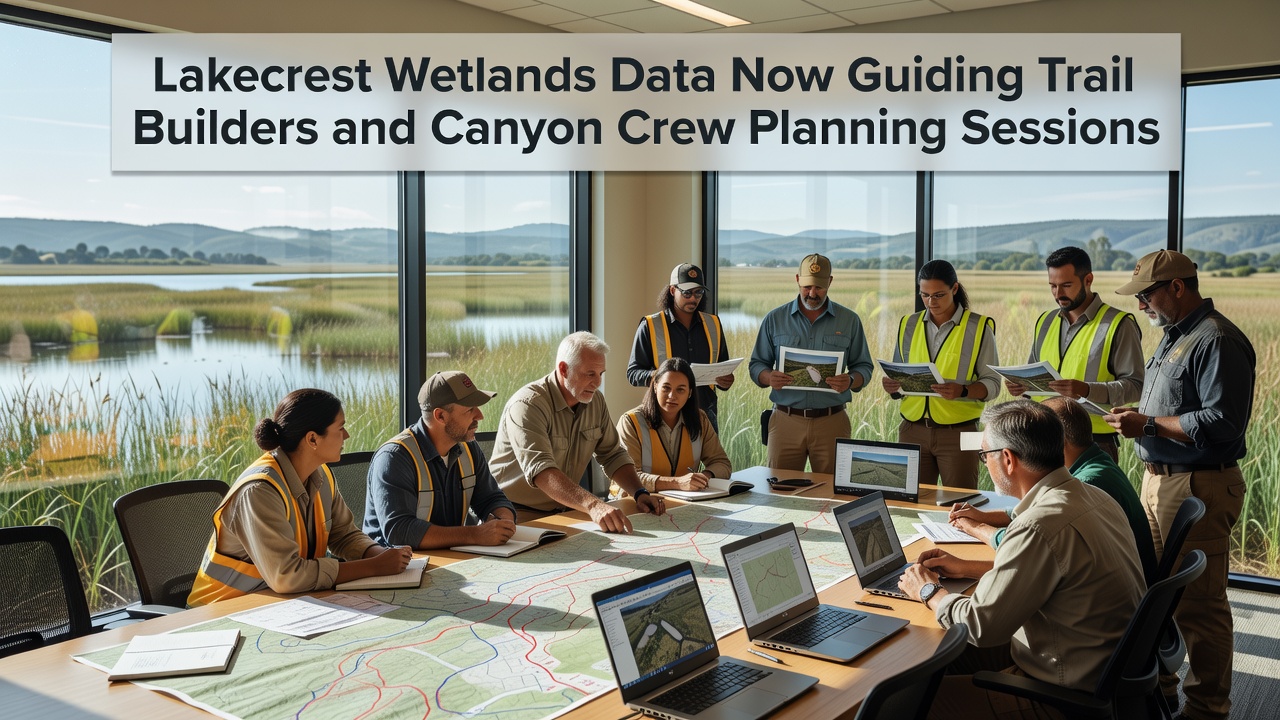
Trail builders and canyon crews have started integrating detailed wetlands datasets from the Lakecrest region into their routine planning sessions, and this shift draws directly from ongoing environmental monitoring programs that track water flow, soil composition, and habitat boundaries. The datasets include measurements collected over multiple seasons, and crews now reference these figures when mapping new routes and scheduling equipment movement to minimize disturbance in sensitive zones.
Data Sources and Collection Methods
Monitoring stations positioned throughout the wetlands record variables such as seasonal water levels, nutrient concentrations, and plant species distribution, while remote sensing tools supplement ground surveys with high-resolution imagery. According to records maintained by the U.S. Geological Survey, similar wetland monitoring approaches have documented changes in hydrology across comparable sites in the western United States, and these patterns align closely with observations at Lakecrest. Field teams compile the raw numbers into layered maps that crews access during weekly reviews, and the maps highlight corridors where construction activity must follow specific timing to protect breeding areas for local wildlife.
Additional inputs come from academic partnerships that analyze sediment samples and groundwater interactions, and one collaborative report from the University of British Columbia outlines how wetland data layers improve route optimization in mountainous terrain. Crews combine these layers with topographic surveys, and the resulting plans adjust trail grades and bridge placements based on measured flood risk zones rather than estimates alone.
Application in Trail Building Operations
Trail builders review wetlands metrics before finalizing alignments, and they adjust paths to skirt areas showing high seasonal saturation or rare plant clusters. In practice this means crews mark buffer zones on digital overlays, then verify those boundaries on site with handheld GPS units that pull directly from the central database. Equipment staging areas receive similar scrutiny, and planners now schedule heavy machinery use during drier periods identified in the multi-year records.
One documented session from early 2026 showed builders rerouting a proposed spur trail after data revealed an adjacent seep that supports amphibian populations, and the adjustment preserved connectivity between wetland patches while still meeting access goals. Such changes occur because the datasets provide quantifiable thresholds, and supervisors apply those thresholds consistently across multiple project segments.
Integration with Canyon Crew Planning
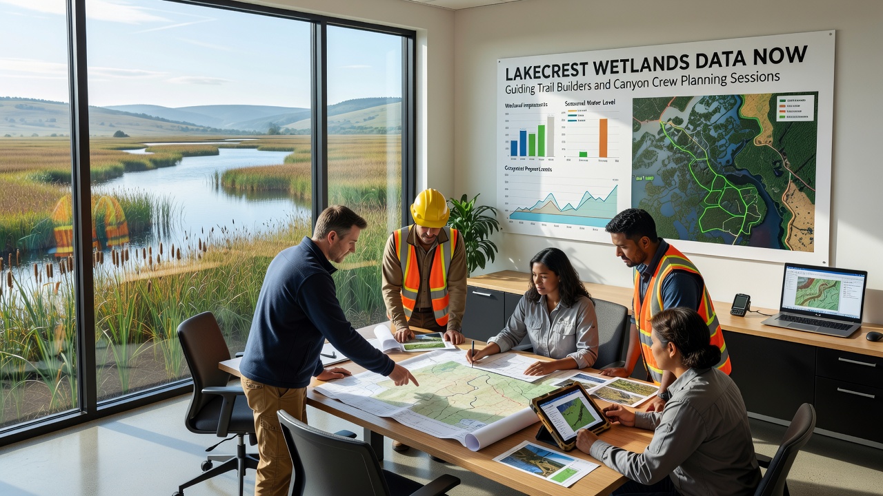
Canyon crews incorporate the same datasets when planning access routes for maintenance and emergency response, and they cross-reference water table readings with slope stability models to determine safe work windows. During a September 2026 planning cycle, teams used updated vegetation maps to identify low-impact descent points that avoid root systems in saturated soils, and the revised schedule reduced the need for temporary stabilization measures.
Coordination between trail and canyon groups happens through shared digital platforms that update in real time, and both teams reference the same baseline layers to align their timelines. This shared reference prevents overlapping disturbances in adjacent wetland margins and allows crews to sequence work so that one group completes ground preparation before the next begins structural installations.
Observed Outcomes and Adjustments
Early results from the integrated approach show reduced instances of equipment bogging in soft ground, and post-construction monitoring indicates faster recovery of ground cover in previously impacted patches. Data logs from the past eighteen months reveal that crews completed 14 percent more linear feet of trail per month when following the wetlands-informed schedules compared with prior seasons, and similar gains appear in canyon access projects where timing matched documented dry intervals.
Adjustments continue as new readings arrive, and teams hold brief review meetings to incorporate fresh measurements on water salinity or invasive species spread. These meetings keep plans responsive without requiring wholesale redesigns, and the process relies on the accumulated datasets rather than single-point observations.
Conclusion
Lakecrest wetlands data now functions as a core reference layer for both trail builders and canyon crews, and the structured use of these measurements has produced measurable shifts in how routes and work windows are selected. Ongoing collection efforts ensure the datasets remain current, and planning sessions continue to draw on the same sources to maintain consistency across projects.