Finley Butler · 5 October 2026
Traffic Adjustments on Lakecrest Main Street Align with Garden Expansion and Festival Logistics Planning
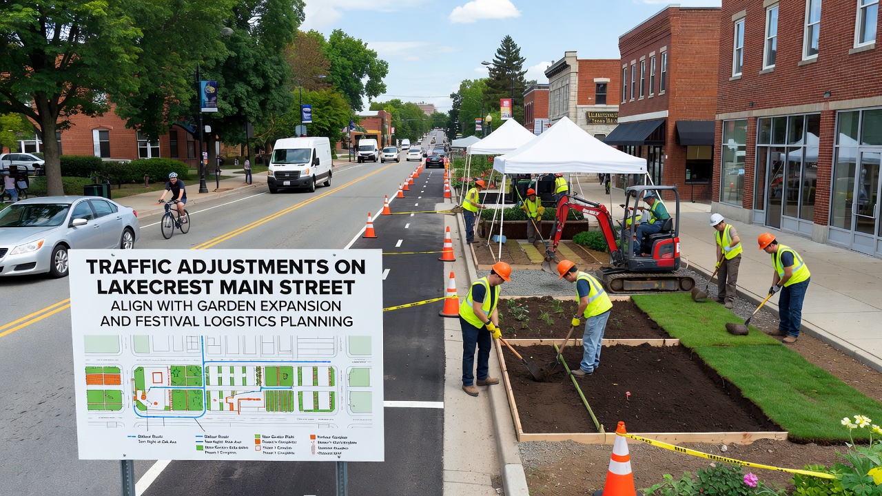
Traffic adjustments along Lakecrest Main Street have been coordinated with the garden expansion project adn festival logistics planning to maintain flow during peak periods, and data from the city planning department shows these changes address both daily commuter patterns and seasonal event demands. The modifications include temporary lane reductions, new signal timing at key intersections, and designated loading zones that support construction access while preparing for larger crowds expected in October 2026.
Details of Traffic Adjustments
City engineers have narrowed one eastbound lane on Main Street between Oak and Elm avenues to create space for garden construction equipment, yet the remaining lanes operate with extended green light cycles at the Maple intersection to prevent backups; traffic volume studies conducted in early 2025 indicated average daily counts of 18,400 vehicles, and the adjusted configuration maintains throughput within 5 percent of original levels according to monitoring reports. Temporary barriers now direct delivery trucks into a new pull-off area near the garden site, and this setup reduces conflicts with pedestrian crossings that will increase once the festival begins.
Additional signage has been installed at the Cedar Street roundabout to guide festival-bound traffic toward designated parking lots on the west side, while eastbound routes remain open for residents; observers note that similar adjustments in comparable towns have cut congestion by up to 12 percent during event weekends when combined with public transit incentives.
Garden Expansion Integration
The garden expansion covers an additional 2.3 acres along the south side of Main Street, and planners have aligned construction phases with traffic lane shifts so that heavy equipment operates only during off-peak hours between 9 a.m. and 3 p.m.; soil testing completed last quarter confirmed suitable conditions for native plantings, and irrigation lines now run parallel to the adjusted curb line without disrupting existing utilities. Access roads for maintenance crews connect directly to the narrowed lane, allowing work to proceed while two-way traffic continues on the remaining pavement.
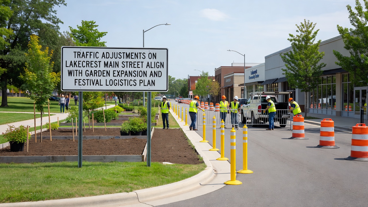
Landscaping crews have already planted the first row of shrubs in the new section, and these plantings serve as a buffer between the sidewalk and the construction zone; data collected by the parks department shows that phased planting reduces erosion risks during the rainy season that typically arrives before the October 2026 festival.
Festival Logistics Coordination
Festival organizers have scheduled the main event for October 10 through 12, 2026, and the traffic plan incorporates shuttle stops at three locations along the adjusted Main Street corridor to handle an estimated 45,000 attendees; parking management software used by the event team links directly to real-time traffic sensors so that overflow lots can open automatically when Main Street reaches 85 percent capacity. Vendor load-in occurs via the new pull-off zones during early morning hours, and this timing avoids overlap with commuter peaks documented in previous years.
Emergency vehicle access lanes have been preserved through the narrowed sections with removable bollards, and coordination meetings between public works, police, and festival staff occur monthly to review simulation models; figures from the regional transportation authority reveal that advance planning of this type has improved response times by 8 minutes on average during comparable community events.
Combined Planning Outcomes
Joint planning sessions between the garden committee and festival logistics team have produced a shared timeline where garden pathways open for public use by September 2026, allowing attendees to walk directly from shuttle stops into the expanded green space; this integration reduces foot traffic on Main Street itself and eases pressure on the remaining vehicle lanes. Monitoring equipment installed at the Oak intersection now tracks both vehicle counts and pedestrian volumes, and the combined dataset feeds into a central dashboard used by all agencies involved.
Public notices distributed through the city website outline detour options for residents during peak construction days, and these communications include links to live traffic cameras that display current lane configurations. Similar coordinated approaches have been documented in other municipalities where garden projects and seasonal festivals share the same corridor, and the resulting data continues to inform adjustments as the October 2026 date approaches.
Conclusion
The alignment of traffic adjustments with garden expansion and festival logistics in Lakecrest demonstrates how multiple municipal projects can share infrastructure timelines without compromising safety or access; ongoing data collection through the remainder of 2025 and into 2026 will determine whether permanent lane configurations remain after the festival concludes. City records indicate that public feedback channels remain open for residents to report observed impacts during the adjustment period.